April 24 when we decided to pursue our plans to
have tour in some part of Visayas and northern Mindanao on the morrow.
Day 1 - April 25 at
around 10 am in the morning we leave our place in Moloy, Surallah South Cotabato and headed to Cagayan de Oro City. At Kabacan North Cotabato, we
encountered heavy rains along the road but it was so good. It made our travel
cold and comfortable although we have to be extra careful with driving since
the road is slippery.
Raining at Kabacan, North Cotabato on the road going to Carmen
We tried to make our pace faster, since we don’t want
to be late at Carmen area at night. The road is winding and most of the area
are under-constructions. It will be very difficult to travel that road
condition specially at night time. Also the place is so quiet that we seldom
find some other motorist passing by. Only after 30 minutes or an hour before we
encountered or we overtook some other commuters on the road. Some places of the
areas are covered with coconut trees, huge plantations of palm trees and some forests.
Most of the time we were traversing above the mountains.
At some peaceful part of Carmen, North Cotabato
Fortunately, we surpassed the area and we were all
exhausted for the first day of travel. But it was not yet our destination for
that day. We were hungry and were looking for some place to dine. We reached
Valencia City in Bukidnon and luckily we saw the big M on our direction and we
were very happy – it’s the Mc Donald : our comfort.
Spicy chicken with rice at Mc Donald-Valencia City, Bukidnon
Cabaylo Family on the go. (pirti gid kagutom)
Baby Gelai is trying to zip all juices. (Uhaw uhaw gid tana)
We continued our trip up to our final destinations
that day – Cagayan De Oro City. We spent the night at our relatives who are
staying there. We are grateful to extend our thanks to Lapiz Family.
Day 2 - April
26. Before we left bound for our next destinations, we spent our morning attending
the Church Services and having great time with them.
Great breakfast at Lapiz Family in Cagayan de Oro City
Day 2 - April
26. Before we left bound for our next destinations, we spent our morning attending
the Church Services and having great time with them.
Group picture in front of the church before leaving Cagayan de Oro Ciy
After we bided goodbye, we continued our journey
going to Mukas Port, Kulambugan, Lanao. We rode the roro in order to cross
Ozamiz City. From Cagayan City, we passed by Iligan City up to some
municipality of Lanao del Norte. We travelled with so much vegetation on the
road. The objective was to reach Dapitan Port in order to catch the last Ferry
boat going to the port of Dumaguete.
An area somewhere in between Iligan City and Kulambugan
Leaving Mukas Port in Kulambugan, Lanao
We reached Dapitan Port at around 8:00 pm. But the
ferry boat will leave Dapitan Port at
12:00 am. We almost did not take the ferry because we must have a booking ahead
of the trip. We took chances and fortunately, there were cargo trucks which did
not come on time. We took their bookings. While waiting for the ferry boat to
load our Van – on board, we decided to roam around Dapitan City to find some
place to eat. We bumped to one of the seafoods houses along Dapitan City
Boulevard. We dined there for our supper. Afterwards, we went back to the port
for embarking.
We spent our night at the sea while boarded on the ferry boat heading to Dumaguete City Port of Negros Island.
Day 3 -
Welcome to Negros Island. It was the first time I set foot on some
islands of the Philippines. It was the Island of Negros in the City of Dumaguete
– the City of Smiles. We disembarked at the port at around 9:00 am and we are
so excited to explore Visayas.
The Ferry boat just docked at Dumaguete Port
 |
| Our best buddy while waiting our passengers at Dumaguete Port |
Here we came again. Everybody were hungry after a
whole night boarded on ferry boat. The first request came was to find some place
to eat. Jollibee is all around Philippines and expectedly, there must be Jollibee
near at the port. Hola – there it is – a welcoming bees gave us a very warm
smiles.
 |
| Jollibee at Dumaguete City - Near the port area |
Gelai & papa Lasoi were having fun while waiting our orders.
The Capitol Building of Negros Oriental
After having our breakfast at Jollibee, we continued our trip going to the next roro ride en route to Cebu Island. We decided to take our night at Cebu City.
RORO en route from Tampi to Bato Port in Cebu Island
From Bato port where the RORO docked at Cebu Island, we took the Santader-Barili-Toledo Road goint to Southern Tip of Cebu Island. From there - we travelled through the Cebu South Road to Natalio Bacalso National Highway up to Cebu City.
Santander-Barili-Toledo Road - Along the Boulevard
Everybody were amazed of the scenery we saw on our ways. The road is finely paved with asphalt concrete, even the width is somewaht smaller than the standard. There were areas where the road was winding and the slope was too steep to drive for an ordinary car. Lunch time came and we were all hungry again. We reached Argao City and stopped at sone of the restaurants along the road. We were greeted with Maayong udto, unsay atoa manang/manoy.
Carmen Restaurant - Argao City, Cebu
Busy main road of Argao City - this was at around 2:00 pm
Relaxing at Mango Hotel Pool after a long drive from Negros Island
Cebu City Hall
The famous Magellan Cross in front of Cebu City Hall
Information about the Cross of Magellan
Inside the Cebu Basilica Church
Cebu Downtown
Cebu Cathedral
Inside Cebu Cathedral
Facade of Fort San Isidro
Reception Area - Fort San Isidro
Main Building - Fort San Isidro
Garden - Fort San Isidro
Entrance Building - Fort San Isidro
Facade - Fort San Isidro
Dining At Overlooking Cebu City
Overlooking Cebu
Taoist Temple
At Taoist Temple - Cebu City
Man Made Forest - Bohol
Jump Shoot - Man made Forest Bohol
The highest peak/hill - Chocolate Hills, Bohol
Chocolate Hills - Bohol
Performaning Children - Chocolate Hills - Bolok
Tarsier Sanctuary - Bohol
Floating Restaurant - Loboc River, Bohol
Riverside Rondalla - Loboc River, Bohol
End Part of Floating Restaurant - Loboc River, Bohol
Loboc River, Bohol
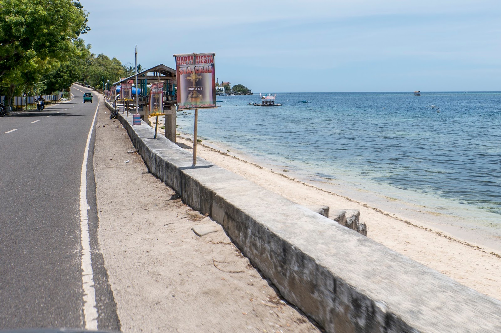
Seaside Beach - Where we spent our 2 days stay.
Seaside Beach park, Bohol
Sari-saring Paninda - @ Jagna Port, Bohol
A stay in Jagna, Bohol
Ferry Back to Mindanao Isaland
Docking @ Naasipit Port, Butuan